
On the way south we tried to stay off the main roads, opting for more interesting secondary roads when possible. Vulture Mine Road out of Wickenburg and Old US-80 to Gila Bend. But once in Gila Bend there's but one road (AZ-85) that cuts through the Goldwater Bombing Range on the way to Ajo... and I don't think a prudent person should stray too far from the pavement along through here. As it was, we had to slow down a couple times to let a pack of 3 low-flying F-16s cut across the road in front of us. Out here, they have the right-of-way.
Ajo is an old mine town. Copper was the primary metal being sought and the Ajo mine was the first large scale copper mine in the Arizona Territory. Currently, there's little going on at the mine today, but you can't help but notice the remnants of it's earlier peak times. Huge piles of overburden and tailings form man-made mountains on the south and east side of Ajo, surrounding a large deep open pit mine that can still be seen from above. The community is certainly struggling but if one looks hard enough there are signs of new growth and a good community spirit. Let's hope so.
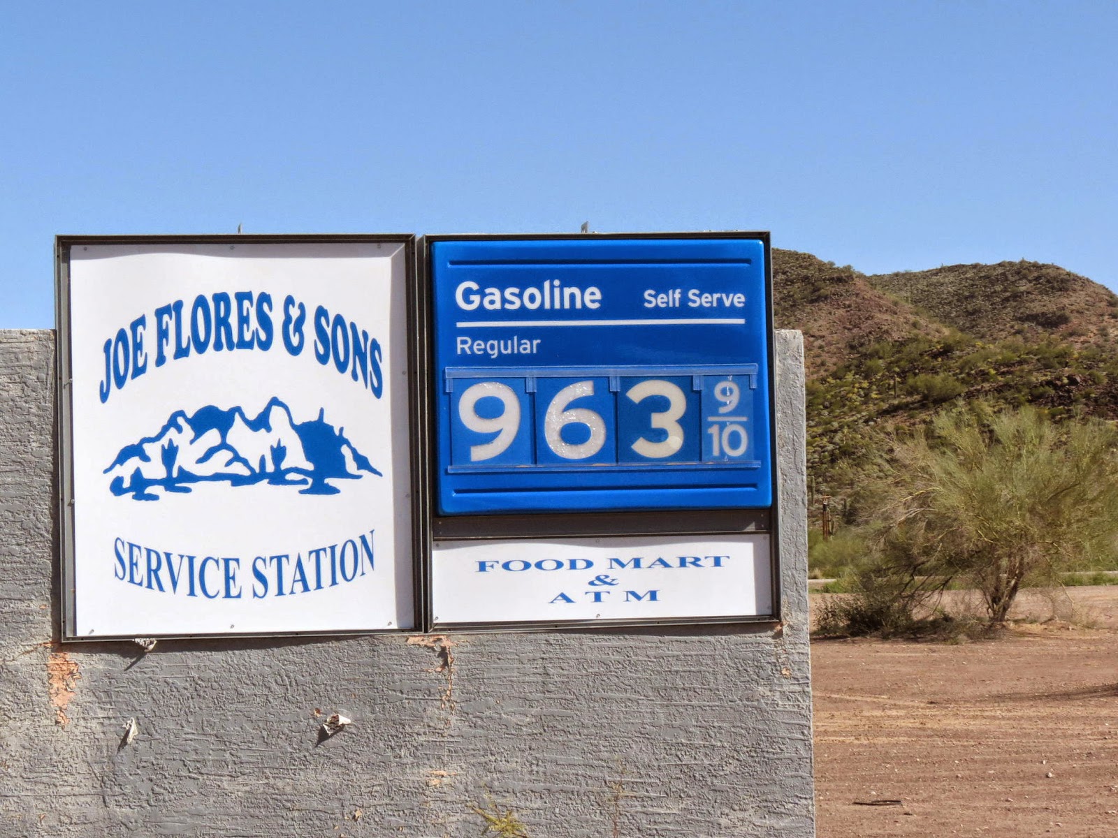
A bit further down the road is Why. Not much to report here, except there is a reasonably priced gas station and C-store here, and even a cafe that serves breakfast and lunch... again, at reasonable prices. If one is boondocking out on BLM land, these things can be important.

The last time we were here we did the Ajo Mountain drive on the east side of the Park. So this time we tackled the twice as long (37 mile) Puerto Blanco Loop Road. This loop road had been closed for years due to cross-border smuggling activity, but it was recently opened again to the public. We found the road, trail really, to be in rough shape in spots. The Park restricts travel to high-clearance vehicles only. We had no issues making it with the nimble 5 ton truck and camper other than some additional desert pinstriping. Never engaged the dif-loc or 4wd. High clearance was needed however.
 |
| Fence on the border |
We did experience a weird juxtaposition along this part of the drive. The road we were on, South Puerto Blanco Road, was completely non-maintained, rutted, corrugated, and washed out in spots -- a lousy road. Tough to even make 5 or 10 mph. Next to us is The Fence. Next to The Fence, on the other side, in Mexico, was a divided four-lane, smooth as glass, superhighway. We both smiled at the comparison between poor old backward "almost-third-world" Mexico and our own affluent super-country USA.

Our excursion to the border was a short one, but, regardless of duration, we seem to always enjoy these trips. The weather was superb during the entire time, we ran into some neat people, and learned more about a place we're really growing to love... the Sonoran Desert.
 |
| V. nice couple on a four year journey through N. and S. America. They can go anywhere with that rig. |
 |
| Hold on there Pard'nr... would that be in Pesos? |