The town of Stanton, like the towns of Octave and Weaver, owe their existence to a group of pioneers who discovered gold in the area in 1863. Led by the frontiersman Pauline Weaver, the explorers were camped along Antelope Creek when one of the men - a tracker named Alvaro - decided to go chasing after a runaway burro. After climbing to the top of what would become known as Rich Hill, Alvaro tripped over a pile of gold nuggets that were "as big as potatoes." Soon after, Pauline Weaver and a friend named Jack Swilling found another pile of gold on top of nearby Antelope Hill. Weaver said that gold was so plentiful in the area that he could pop nuggets out of the ground with a knife, and that one acre yielded nearly $500,000 in gold.
The 1863 strike transformed Antelope Station into a boomtown overnight. Originally just a small stage stop, by 1868 Antelope Station supported a population of 3,500 people. Chuck Stanton first arrived in town a few years later. He wasted no time in recruiting the help of some Mexican bandits so he could wipe out his competition and take control of the town. His first two victims were his neighbors, George "Yaqui" Wilson and William Partridge, both of whom owned a store and a stage stop. In August 1877, Stanton tricked Partridge into killing Wilson over some pigs, and so Partridge was arrested and sent to the Yuma Territorial Prison.
Once Wilson and Partridge were out of the way, Stanton focused on Wilson's business partner, John Timmerman, who arrived in town from Smith's Mill and formed a new partnership with a family-man named Barney Martin. Stanton's plan for dealing with Timmerman and Martin wasn't nearly as clever as Wilson's murder had been planned. He simply had his bandits ambush them out in the desert. The bandits also killed Barney's wife and his two little boys in what has since become known as the "Martin Family Massacre." Stanton was arrested for the murders, but due to the testimony of several false witnesses, the charges against him were dropped. Later on that year, however, Stanton was killed by a Mexican gunman named Lucero, and buried about a mile outside of town.
Following Stanton's death, the town continued to thrive for several years, but it was still considered to be a dangerous place. In 1892, for example, a Prescott newspaper reported that the residents of Stanton liked to "drink blood, eat fried rattlesnakes and fight mountain lions". Nevertheless, by the 1890s, Stanton was a legitimate community filled with miners, their families, a general store, a stamp mill, a hotel, a boarding house, and several other associated buildings. For some inexplicable reason, the town's name was officially changed back to Stanton in 1896. It didn't survive for much longer, though. By 1905 the gold in the area was just about gone. That same year the Stanton Post Office was closed, for good, and the town was abandoned.
Then in the late 50s, the Saturday Evening Post bought the ten acre ghost town and gave it away in a contest. The “lucky” new owners didn’t know what to do with it so they sold it. In the late 60s a band of hippies moved in and started tearing apart the wooden buildings for firewood. In 1976 the Lost Dutchman Mining Association bought the property. They’ve restored a few of the old buildings, built a “member-only” RV park, and as time and money are available plan to make further improvements.
February 17 - First visit to Stanton and Old Stage Road drive to Yarnell
I mentioned earlier that Stanton is only a few miles from our basecamp in North Ranch. That’s true, but it’s across an expanse of rugged desert. The easy way to get there is via Stanton Road off Hwy 89 north of Congress. A wide gravel/dirt road with a few rough corrugated patches, it’s about 5 or 6 miles back to Stanton, tucked away in a corner of the hills.
The day was warm and sunny as we slowly edged our way along Stanton Road, no hurry, and stopped in a few places so Dar could snap a pic or two. Somewhere about 4 miles from Hwy-89 the dirt road makes a bend around an arm of the mountain and buildings and RVs and then more RVs pop into view, seemingly multiplying faster than dreams of finding the mother-lode.
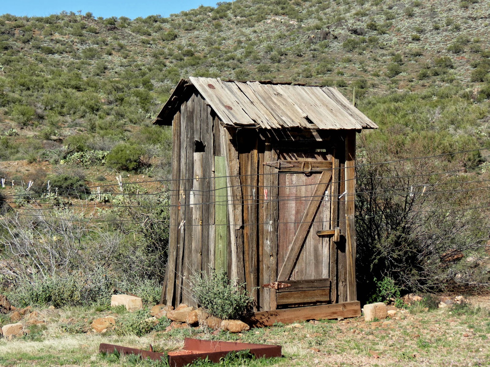
The place has a rustic feel. Except for the ubiquitous cloud of dust, the steady din of 4x4s, razors, and other OHVs, and the jumble of white RVs scattered about, the ambiance of Stanton probably hasn't changed much since the 1860s. A large fire pit is the centerpiece of the "town square". The few historic buildings are not impressive save for their age and originality, but are far more interesting than the interpretive re-creations that we sometimes find in historic places.
As stated above, the town is now owned by the Lost Dutchman Mine Association and is mostly an RV park used exclusively by it's members. The common thread that binds all these folks together is their interest in mining and prospecting. Like many hobbies, passions, and interests, there's no accounting for how these kinds of recreational pursuits are kindled in the hearts of those afflicted. But they so seem like a happy bunch and were very welcoming and forthcoming with answers to the questions we had.
From Stanton we had a choice to make. Do we go back the way we came in? Do we strike off "cross-desert" in the direction of Wickenburg? Or do we attempt an old stagecoach road up the hill toward Yarnell? Best two out of three... paper covers rock... and we were off uphill toward Yarnell.
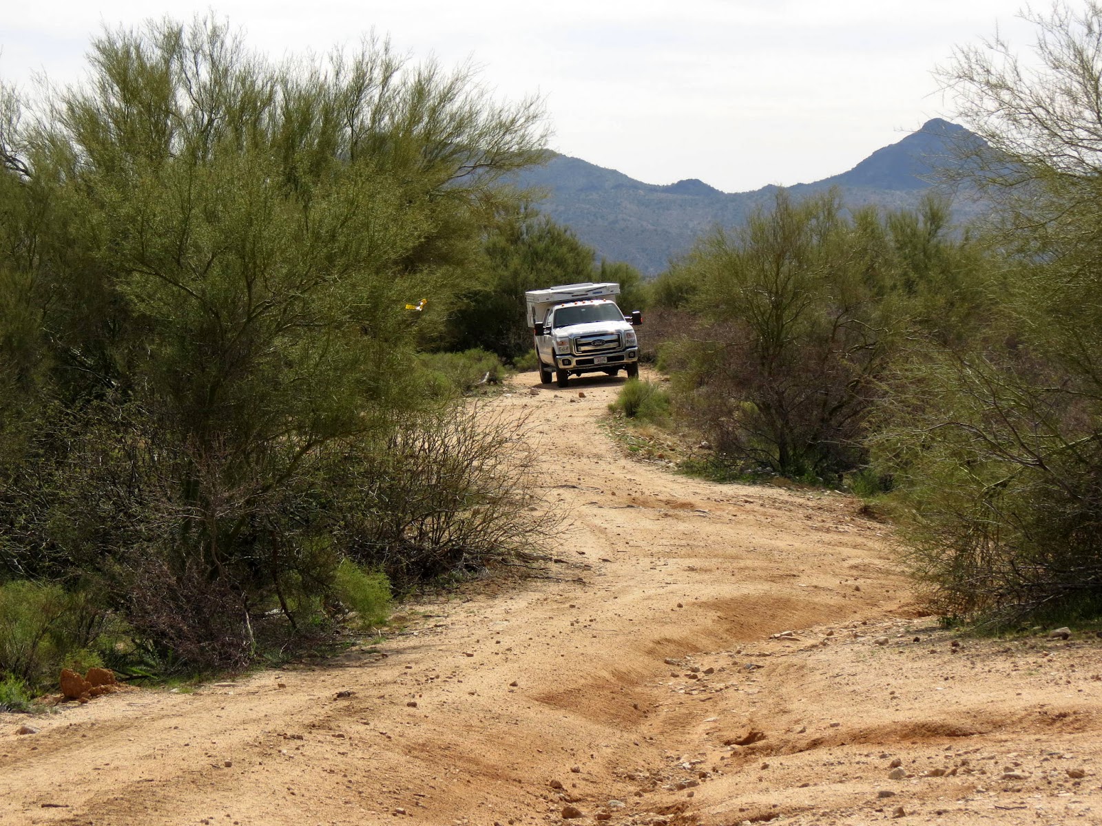
This is a doable road for almost any vehicle, at least it was that day. But "they" usually recommend high clearance and 4 wheel drive. In places the road, trail really, is rough and rock covered, steep, narrow with blind curves, or, often, all of the above. Surprisingly we encountered three or four other vehicles along the way... but no other RVs. Probably not too many campers get through here. After an hour or so (we do like to travel slowly) we topped out at Yarnell with empty stomachs and a little trail tangling experience under our belts.
A late lunch sounded good but the diner in Yarnell was closed. So down the hill (Hwy 89) we rolled and didn't stop until the Arrowhead Bar and Grill outside Congress where we found the appropriate elixir for a trail-weary twosome.
February 21 - Desert roads and trails from Wickenburg to Stanton
Not satisfied with the first easy-as-pie excursion to Stanton a few days ago, Dar and I thought we'd try a longer and, in all likelihood, more difficult route to the old mining town. This would be more in keeping with the prospecting and wild-west theme of the area. Hopefully we wouldn't have to worry about being ambushed by Chuck Stanton's gang, but we were hoping to challenge the truck with more "interesting" trails... trails that were not unlike those the early prospectors used 150 years ago.
Our day started at the intersection of US-93 and Scenic Loop Road a little north of Wickenburg. I say "intersection", which brings up visions of traffic lights or roundabouts or, at least four-way stop signs. But this intersection was a little harder to find. And it is entirely possible to miss it altogether if you're not paying careful attention.
Little old Scenic Loop Road quickly goes from asphalt to gravel to dirt and sand, the ubiquitous substrate of this upper corner of the Sonoran desert. I'll try to keep this short or at least to the point.
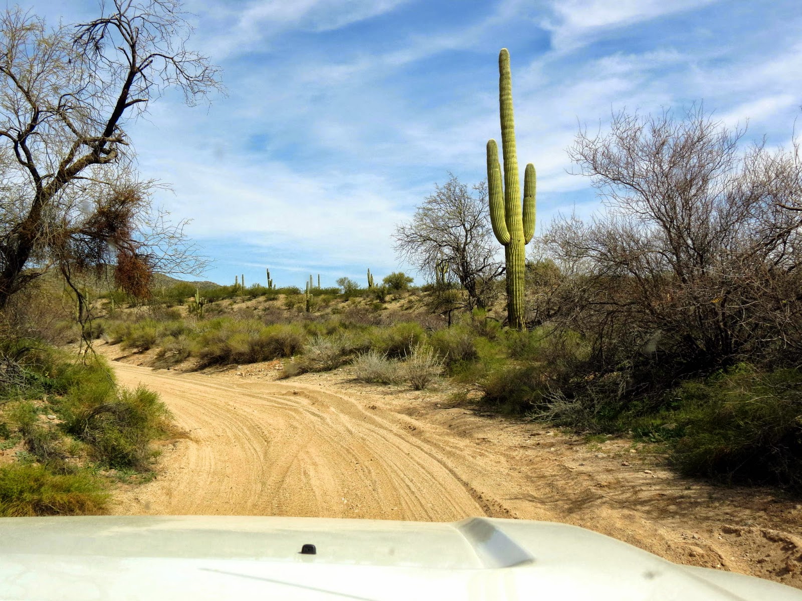
Aided by my trusty Garmin GPS, we jittered and vibrated our way, generally, to the northeast. At many spots the trail V'd (some might say why'd) forcing us to choose a track that appeared to be heading off in the right direction. All along, Gertie Garmin indicated we were on Scenic Loop. We stopped at a boondock campsite to stretch and have a snack. We drove down steep embankments, through loose sand washes, and up the opposite side, sometimes spinning, clawing for traction, diff-loc and/or 4 wheel drive engaged, and watching the terrain and our slow pace sucking down the half tank of fuel we'd started with. Comon'... we're only going something like 10 miles. Don't tell me a half tank isn't enough.
Along our path there's often no place, literally, to turn around. The truck is being decorated with new "desert pin striping" from creosote bushes that line our path. If one of the side windows is down you can get slapped in the face by yucca or mesquite or one of dozens of desert plant life... all of which are covered with protective spines and thorns.
After an enjoyable spell, oh... maybe an hour and a half... we get to a spot where the GPS tells me the trail continues directly straight ahead. The only problem was that the trail, in reality, clearly did not go straight ahead. All we could see was native desert and not so much as a footpath. There was a even more rustic track that did make a sharp right (which wasn't on the Garmin), our only option at that point. With this much time invested in going maybe 5? miles the last thing I wanted to do was turn around in defeat.
To make a too long story only slightly shorter, we rummaged around that corner of the desert for another hour... searching for a path to what I was convinced was a road paved with gold that would take us directly to Stanton. We never found the road El Dorado... and eventually had to execute another 17 point U turn (I'm getting good at these) and retraced ourselves about half the way back to our starting point.
At that point we found a road named Stanton-Hall Road that took off to the north. Hadn't seen this one earlier. What the hell... let's give it a go. In another effort to shorten the story and get to that IPA reward at the end of the trail, let me just say we put in another couple hours of jostling and bouncing... and did eventually find Stanton.
It was a fascinating day of scrumaging through the desert, getting stuck a couple times, getting un-stuck a couple times, learning to pick the best path through a rock-strewn hillside, and eventually reaching our objective. I think it would have been easier with a horse. But we had a blast.


